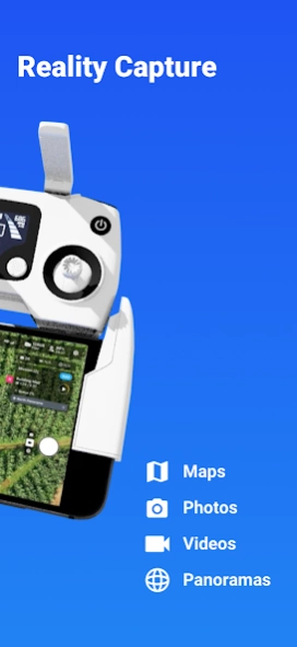
About DroneDeploy - Mapping for DJI
DroneDeploy is the leading cloud software platform for commercial drones, and is making the power of aerial data accessible and productive for everyone. The free DroneDeploy app provides easy automated flight and data...
DroneDeploy is the leading cloud software platform for commercial drones, and is making the power of aerial data accessible and productive for everyone. The free DroneDeploy app provides easy automated flight and data capture, and enables you to explore and share high-quality interactive maps, orthomosaics and 3D models directly from your mobile device.
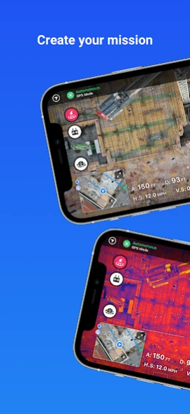
Fly your DJI drone autonomously with just two taps on your Android device. Quickly process your imagery with DroneDeploy to generate high-resolution maps and 3D models, analyze, annotate and share your maps with others directly from within the app. Extend your capabilities and take your analysis to the next level with over 80 best-in-class apps available for install within DroneDeploy’s App Market.
DroneDeploy is the ultimate app for a wide range of aerial imaging and mapping applications in construction, solar, agriculture, surveying, mining, insurance and inspection and more. DroneDeploy has empowered users to map and analyze over 30 million acres in more than 160 countries.
Compatible with DJI’s latest drones:
- Mavic 2 Pro / Zoom / Enterprise
- Phantom 4 Pro
- Matrice 200 / 210 /210 RTK V1/V2
Not Compatible with the Following Hardware:
- DJI Mavic Mini series
Android 10+ Recommended
Automated Mapping for Beginners and Professionals:
- Easily make flight plans on any device
- Automate takeoff, flight, image capture and landing
- Live stream First Person View (FPV)
- Disable auto-flight and resume control with a single tap
- Easily continue non-interrupted flights to map large areas
In-field data analysis on any device:
- Explore Orthomosaic, NDVI, Digital Elevation interactive maps and 3D models.
- Measure elevation, distance, & area
- Measure volume (paid customers)
- Collaborate with a team through shared maps and comments
- Get help when you need it with in-app support (paid customers)
Image processing and analysis available on dronedeploy.com:
- Upload imagery from your drone’s SD card to www.dronedeploy.com to process high resolution 3D maps
- Process ground control points to create high accuracy maps and models
- Export data in the format you need
Please join us in improving and discussing the app at http://forum.dronedeploy.com
Previous Versions
Here you can find the changelog of DroneDeploy - Mapping for DJI since it was posted on our website on 2016-10-18 17:11:48.
The latest version is 5.23.0 and it was updated on 2024-04-25 17:08:38. See below the changes in each version.
DroneDeploy - Mapping for DJI version 5.23.0
Updated At: 2024-04-22
Changes: Includes our latest fixes for speed and reliability. Thanks for flying with DroneDeploy!
DroneDeploy - Mapping for DJI version 5.13.0
Updated At: 2024-01-29
Changes: Centered the preflight checklist checkmarks
DroneDeploy - Mapping for DJI version 5.10.0
Updated At: 2024-01-08
Changes: Fixed a bug that didn’t return you to the correct screen after applying for LAANC.
On Enhanced 3D missions, crosshatch is enabled and perimeter disabled on larger map plans.
DroneDeploy - Mapping for DJI version 5.9.0
Updated At: 2024-01-02
Changes: Updated ‘M3E RTK Coverage’ to ‘RTK Coverage’ to be more inclusive
Improved the clarity of the splash screen
Removed the ‘Unable to connect to the server’ message to reduce offline mapping confusion
DroneDeploy - Mapping for DJI version 5.8.0
Updated At: 2023-12-18
Changes: Updated Airbus tokens
DroneDeploy - Mapping for DJI version 5.7.0
Updated At: 2023-12-11
Changes: Resolved an app crash
Reformatted debug logging to be queryable
DroneDeploy - Mapping for DJI version 5.6.0
Updated At: 2023-12-04
Changes: Fixed a bug that capped the speed on Corridor plans
Updated debug log fields to JSON format
DroneDeploy - Mapping for DJI version 5.4.0
Updated At: 2023-11-20
Changes: Fixed a bug where you couldn’t disable Live Map when it was enabled on another platform
Left-aligned the main sidebar menu titles
Centered the sidebar collapse button
DroneDeploy - Mapping for DJI version 5.2.0
Updated At: 2023-11-06
Changes: DroneDeploy has a new look! We’ve made updates across the platform with our new branding. We hope you like it!
Reduced the padding around the flight plan selector
DroneDeploy - Mapping for DJI version 4.161.0
Updated At: 2023-10-16
Changes: Updated app store icon with new branding
Updated splash screen with new branding
Removed onboarding tour screens
Disclaimer
Official Google Play Link
We do not host DroneDeploy - Mapping for DJI on our servers. We did not scan it for viruses, adware, spyware or other type of malware. This app is hosted by Google and passed their terms and conditions to be listed there. We recommend caution when installing it.
The Google Play link for DroneDeploy - Mapping for DJI is provided to you by apps112.com without any warranties, representations or guarantees of any kind, so access it at your own risk.
If you have questions regarding this particular app contact the publisher directly. For questions about the functionalities of apps112.com contact us.